
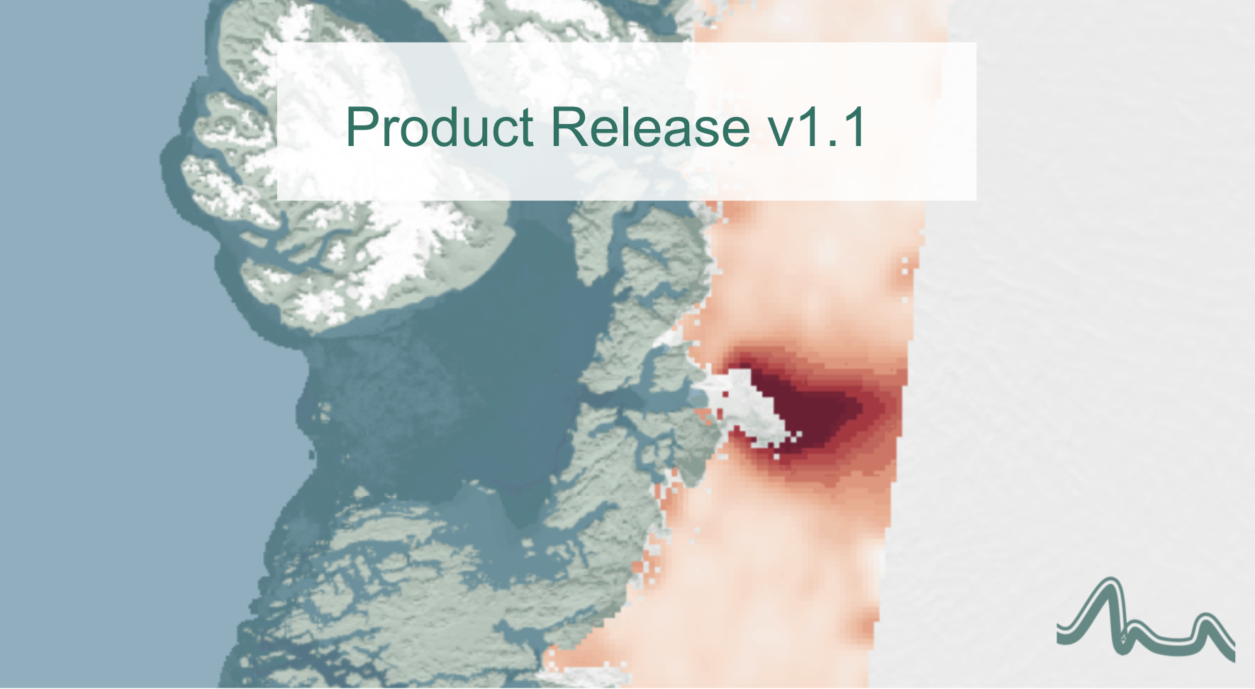
Systematic swath elevation and monthly DEMs over the Antarctic Ice Sheet margin from CryoSat-2
Land-ice is declining globally, raising sea levels worldwide, impacting glacial risks and access to fresh-water in high-mountain glaciers regions. Land-ice monitoring via Earth Observation methods in general, and altimetry in particular, is essential to track the current status of ice volume change and its evolution as climate continues to evolve and mitigating actions are being pursued.
In this context, the CryoTEMPO-EOLIS (Elevation Over Land Ice from Swath) is the first of the CryoTEMPO products to go live today.
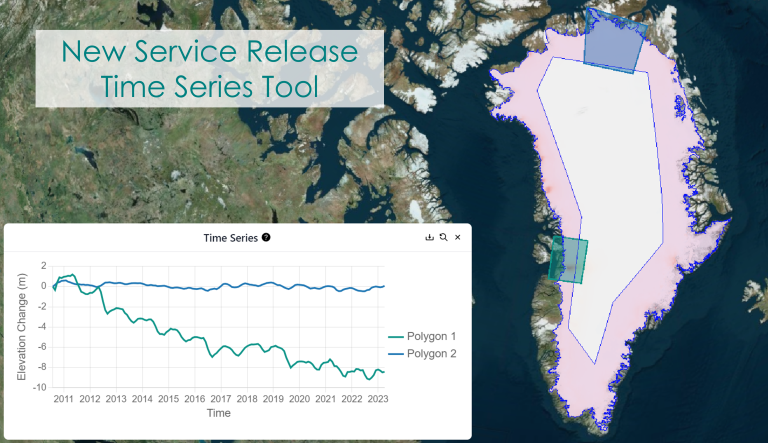
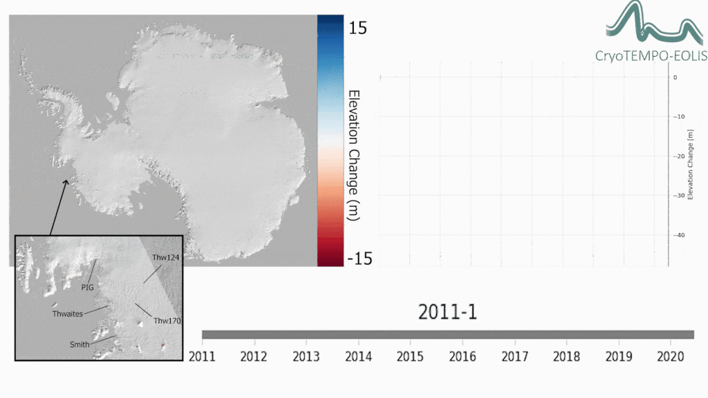
The EOLIS products exploit CryoSat’s SARIn mode and the novel Swath processing technique to deliver increased spatial and temporal coverage of time-dependent elevation over land ice, a critical metric for tracking ice mass trends. The CryoTEMPO EOLIS products are the operational result of research and development projects CryoTop and CryoTop-Evolution.
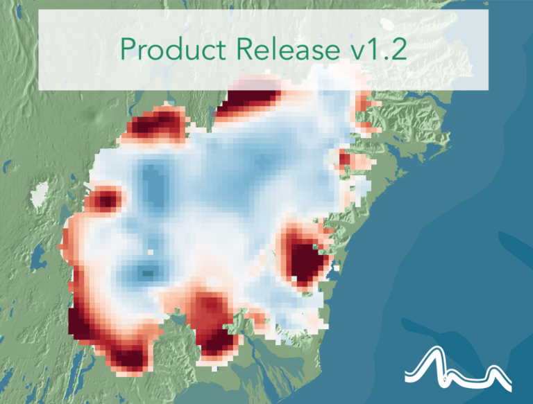
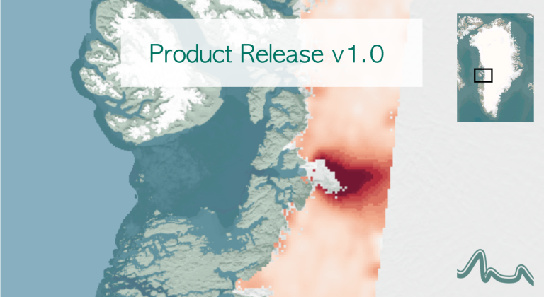
The dataset consists of systematic reprocessing of the entire CryoSat-2 archive to generate new L2-Swath products, increasing data sampling by 1 to 2 orders of magnitude compared with the operational L2 ESA product. In addition, the EOLIS dataset is joined with the ESA L2 Point-Of-Closest-Approach to generate monthly DEM products. This dataset will further the ability of the community to analyse and understand trends across the Antarctic Ice Sheet margin.
Links:
Dataset available here: ftp://science-pds.cryosat.esa.int/
EOLIS website: http://www.cryotempo-eolis.org
Earthwave: http://www.earthwave.co.uk
University of Edinburgh: http://www.ed.ac.uk
isardSat: https://www.isardsat.space