15 years of data are now available for the Seamless Annual Icesheet Product over Greenland, covering 2011 - 2025. This dataset aggregates a full year of point data to a 500m elevation grid in polar stereographic coordinates. The annual gridded products are seamless DEMs, which combine CryoTEMPO Land Ice data in the LRM zone of the ice sheets with CryoTEMPO EOLIS data in the SARIn zone.
In the new product, three variables are available: elevation [m], elevation uncertainty [m], and source. Full descriptions of each can be found in the CryoTEMPO-EOLIS ATBD.
The data can be accessed via the ESA FTP Science Server, for direct download:
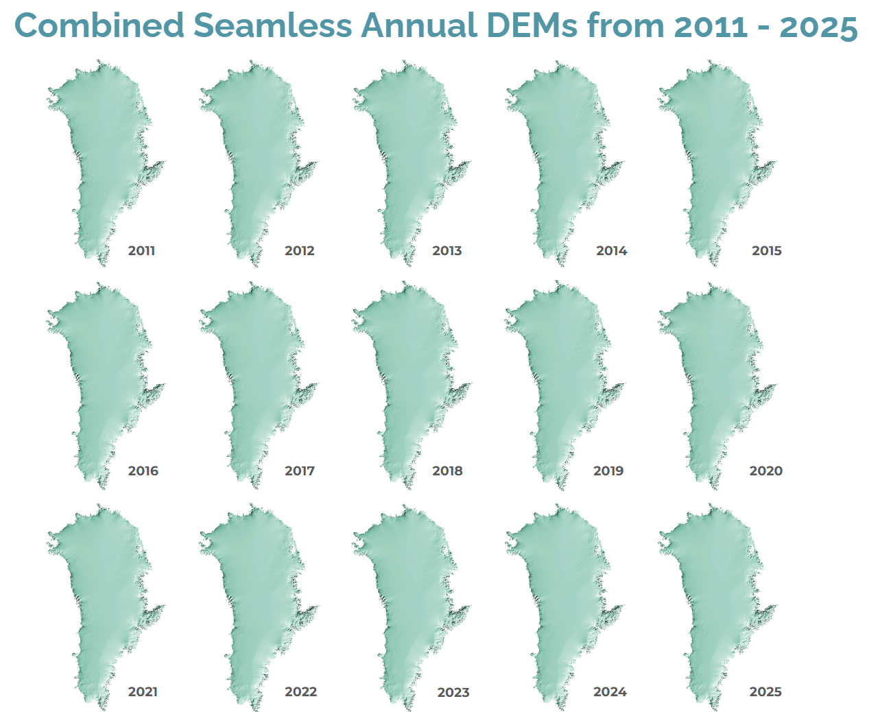
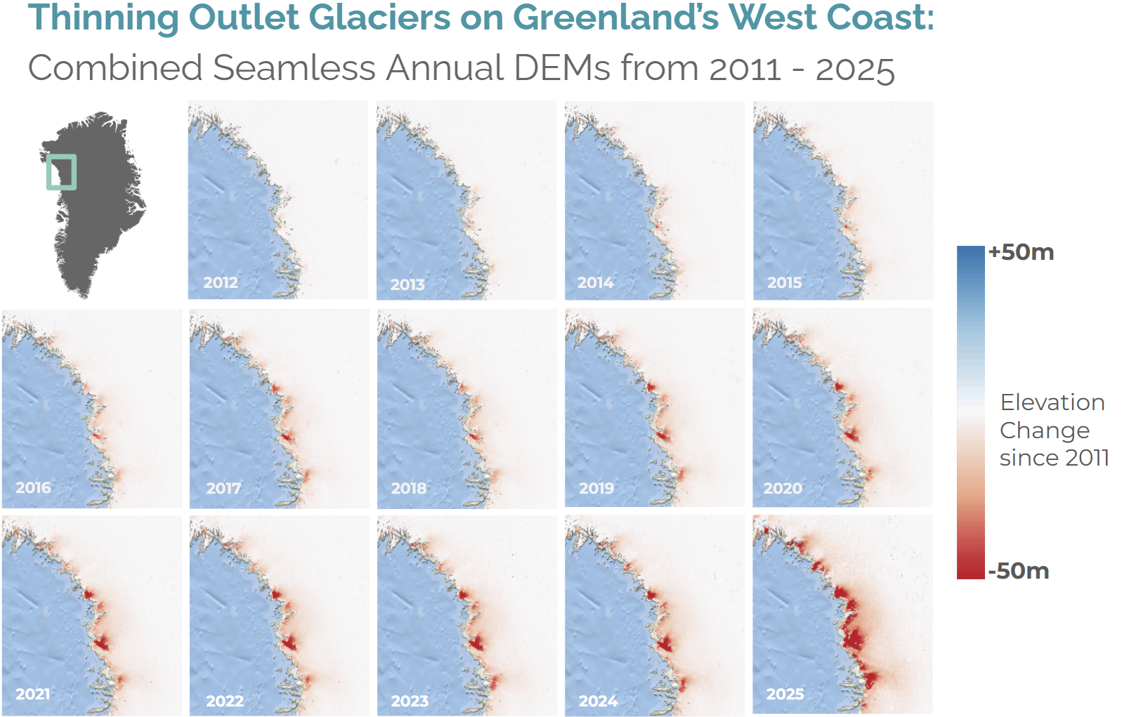
The spatially complete dataset can be used to investigate changes in the Greenland ice sheet over the last 15 years. For example, the product shows the rapidly thinning outlet glaciers on Greenland's west coast, many of which have thinned by over 50m since 2011.